
Ember & Grain · Field Notes · Salts · Origin Atlas · Nº 02
Black Lava
of the Friendly Isle
Molokaʻi, Hawaiʻi. Clean Pacific water, the island sun, and the black of burned coconut shell.
Molokaʻi · 21°05′ N · 157°01′ W
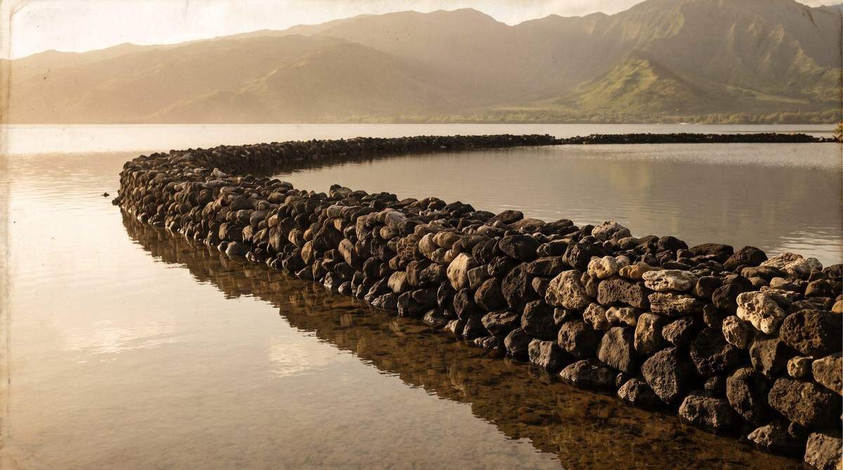
Molokaʻi lies between Oʻahu and Maui and keeps its own time. It is thirty-eight miles long and ten wide, and some seven thousand people live on it. The north shore falls into the sea in the highest sea cliffs in the world. The south shore is low and quiet. A reef runs along it for twenty-five miles and holds the water still and clear. That water is where the salt begins.
The reef holds the water still. The sun does the rest. The fire comes last.
Field notes
| Also known as | Black Sea Salt · Black Hawaiian Sea Salt |
| Position | Molokaʻi · 21°05′ N · 157°01′ W |
| Ingredients | Hawaiian sea salt, activated charcoal |
| Taste | Powerful, distinctive, fresh |
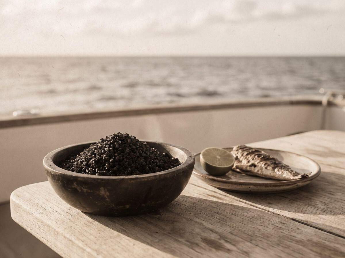
| Use | Finishing salt; the black runs under heat |
| Best on | Seafood, vegetables, pasta, bread, salad |
Continue in The Origins Atlas
The rest of this chapter lives in the book: the full story of the place, how the salt is made, the people who keep the tradition, and the hand-drawn map.
- The Place · the land of plenty
- The Making · sun, then fire
- The Black · fire into salt
Sources: The Spice House; Hawaiʻi Tourism Authority (GoHawaii); Wikipedia, “Molokaʻi.” Imagery is illustrative and AI-generated.