
Ember & Grain · Field notes on salt and smoke
The Origins
Every grain has a coordinate. Every fire has a forest.
The long way to the table
Fourteen salts. Nineteen woods. Thirty-three places.
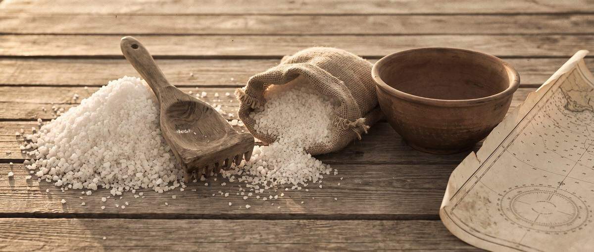
We started with a simple question: where does it come from? Every salt we smoke and every wood we smoke it over has a home, and a people who have worked it for generations. The Origins Atlas is our map of those places. Start with the salt or start with the fire.

Volume I
The Salts

Nº 01 · 21°54′ N · 159°36′ W
Red Alaea
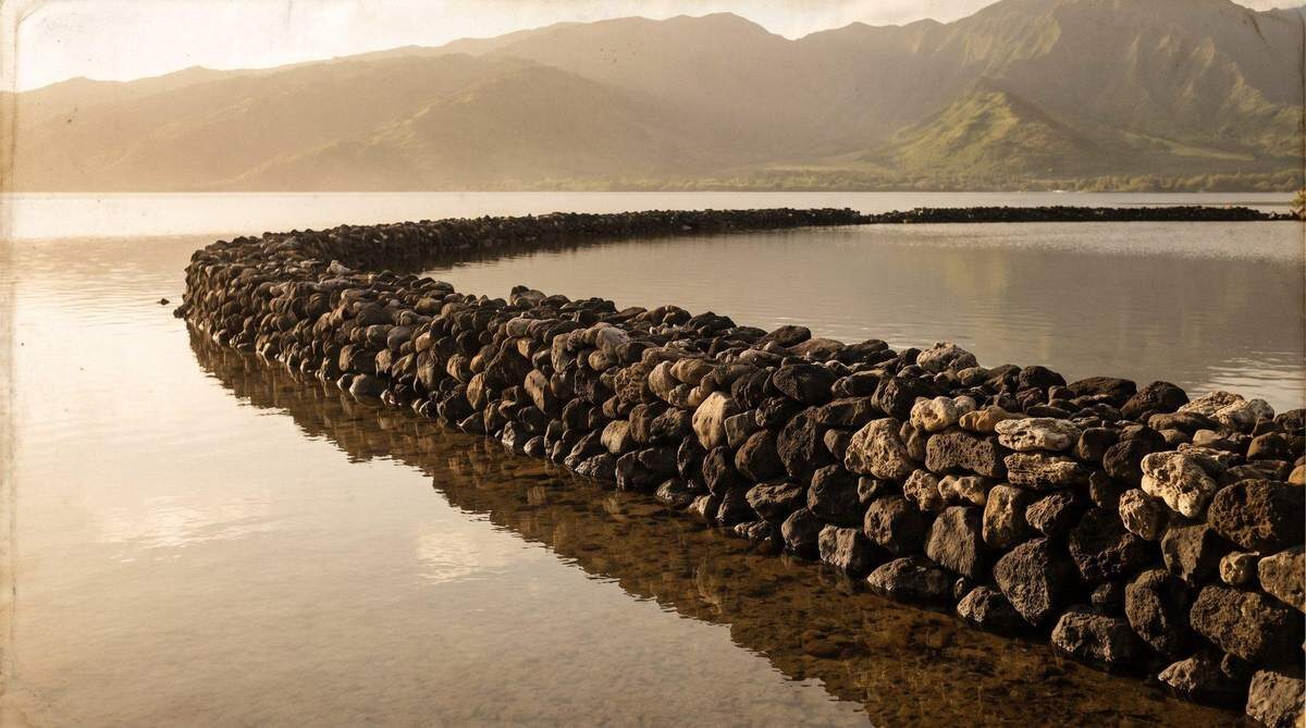
Nº 02 · 21°05′ N · 157°01′ W
Black Lava

Nº 03 · 18°55′ N · 104°04′ W
Sal de Colima
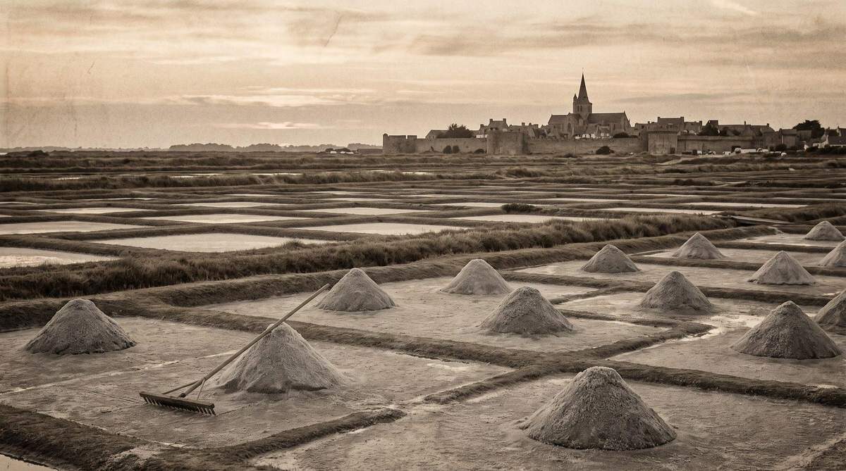
Nº 04 · 47°18′ N · 2°28′ W
Gros Sel de Guérande
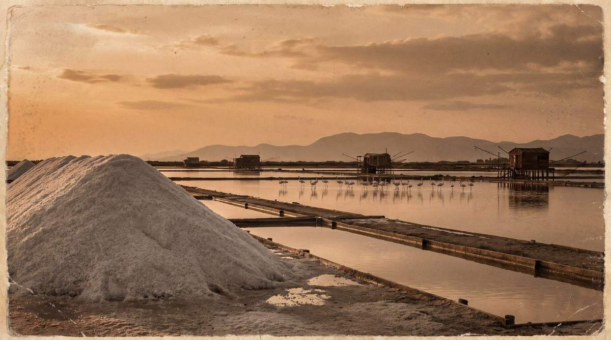
Nº 05 · 38°20′ N · 21°23′ E
Greek Sea Salt
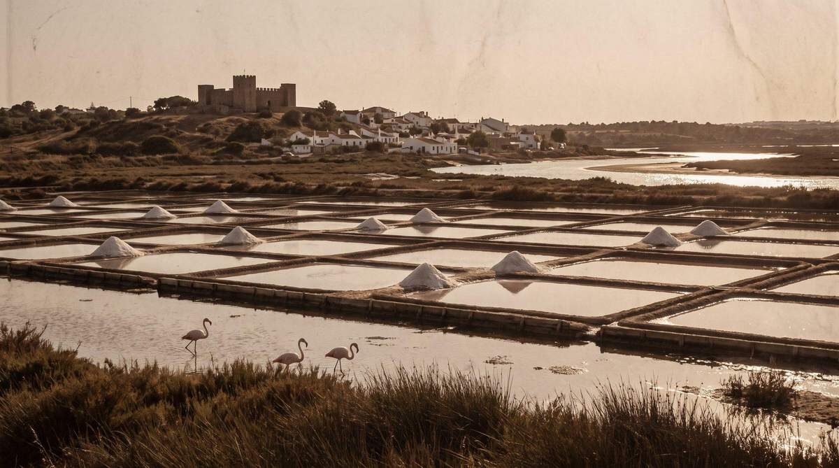
Nº 06 · 37°13′ N · 7°26′ W
Sal Marinho
Volume II
The Woods
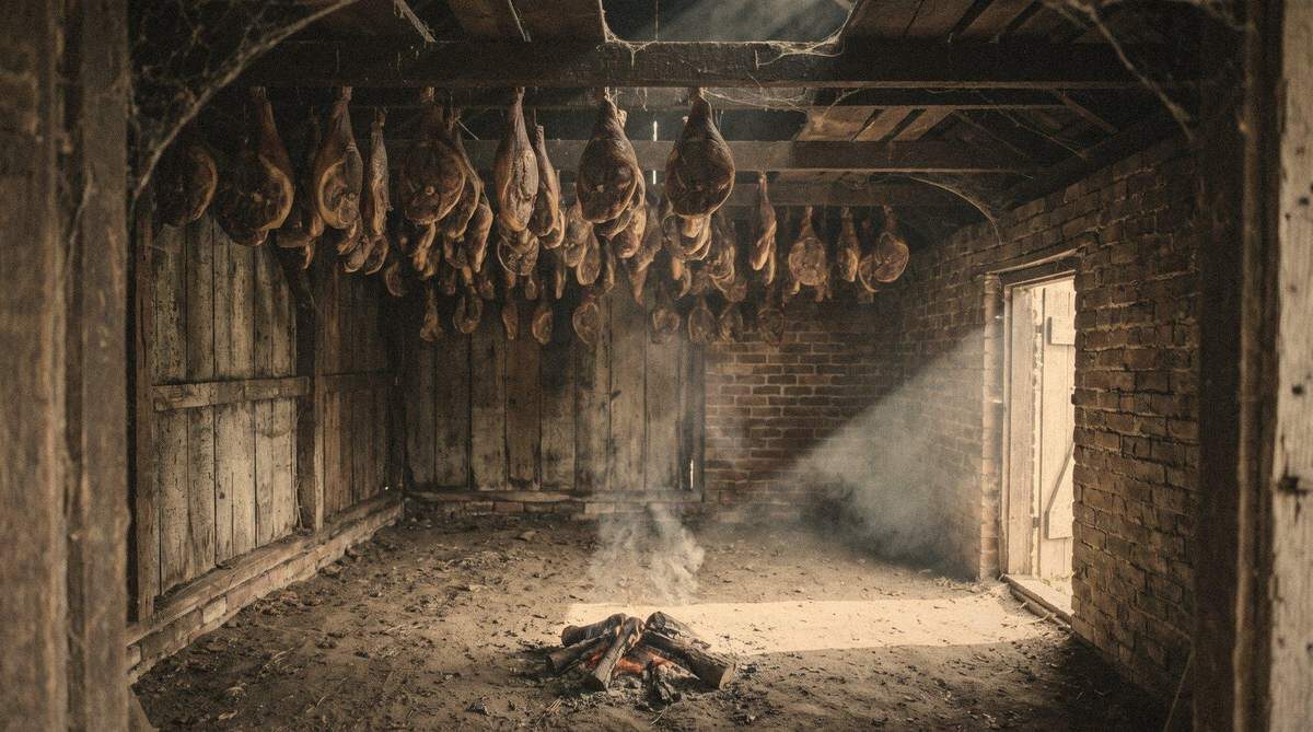
Nº 01
Hickory Wood
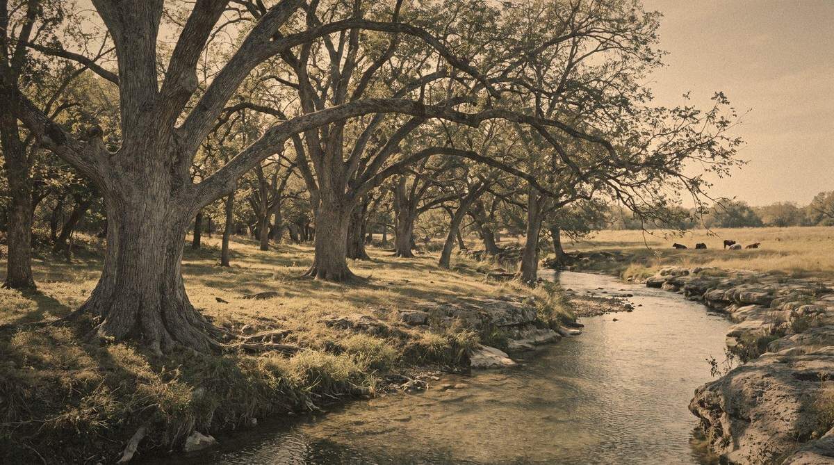
Nº 02
Pecan Wood
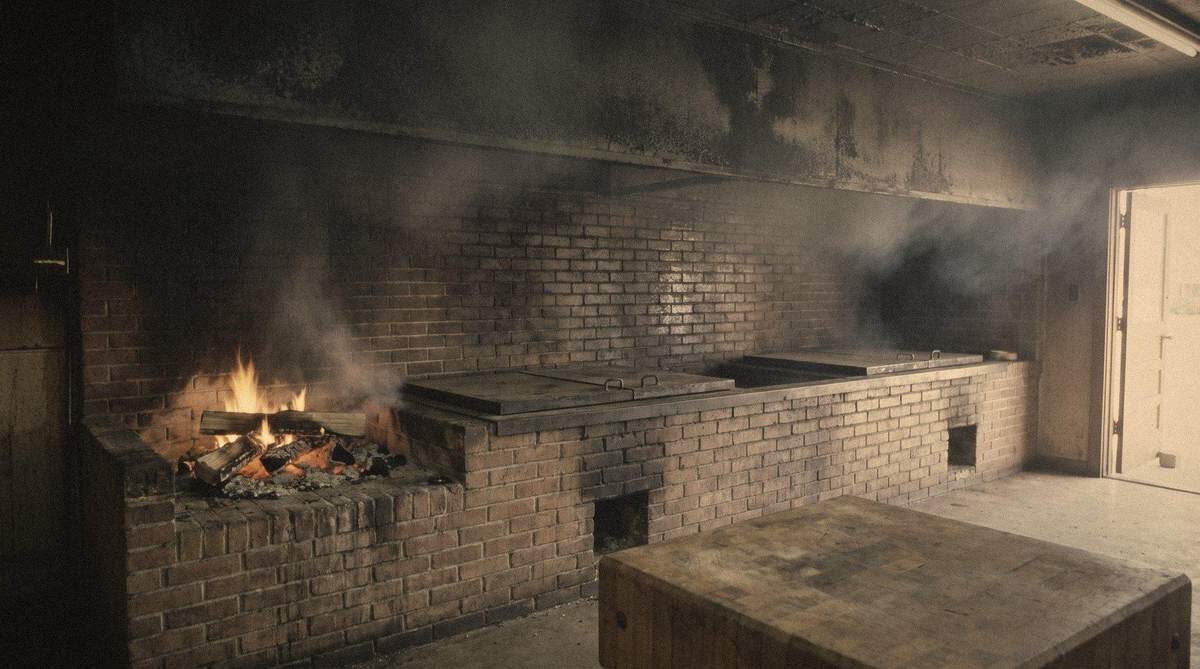
Nº 03
Post Oak Wood
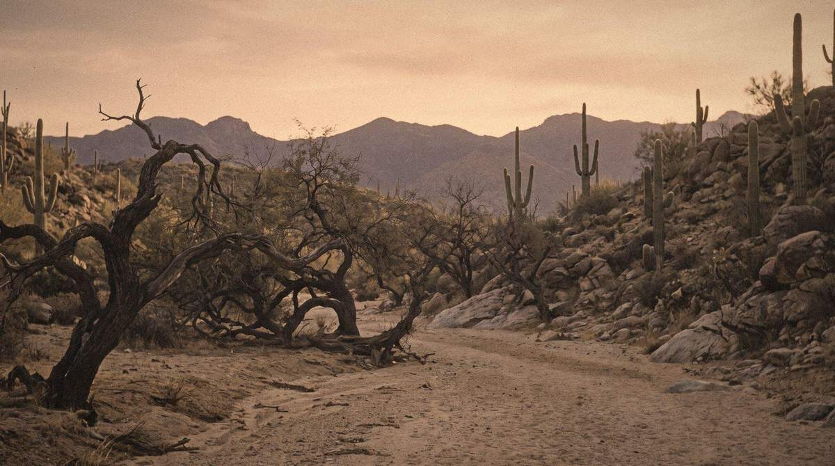
Nº 04
Mesquite Wood
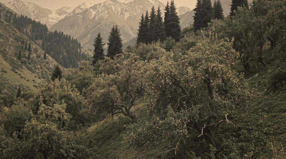
Nº 05
Apple Wood

Nº 06
Cherry Wood
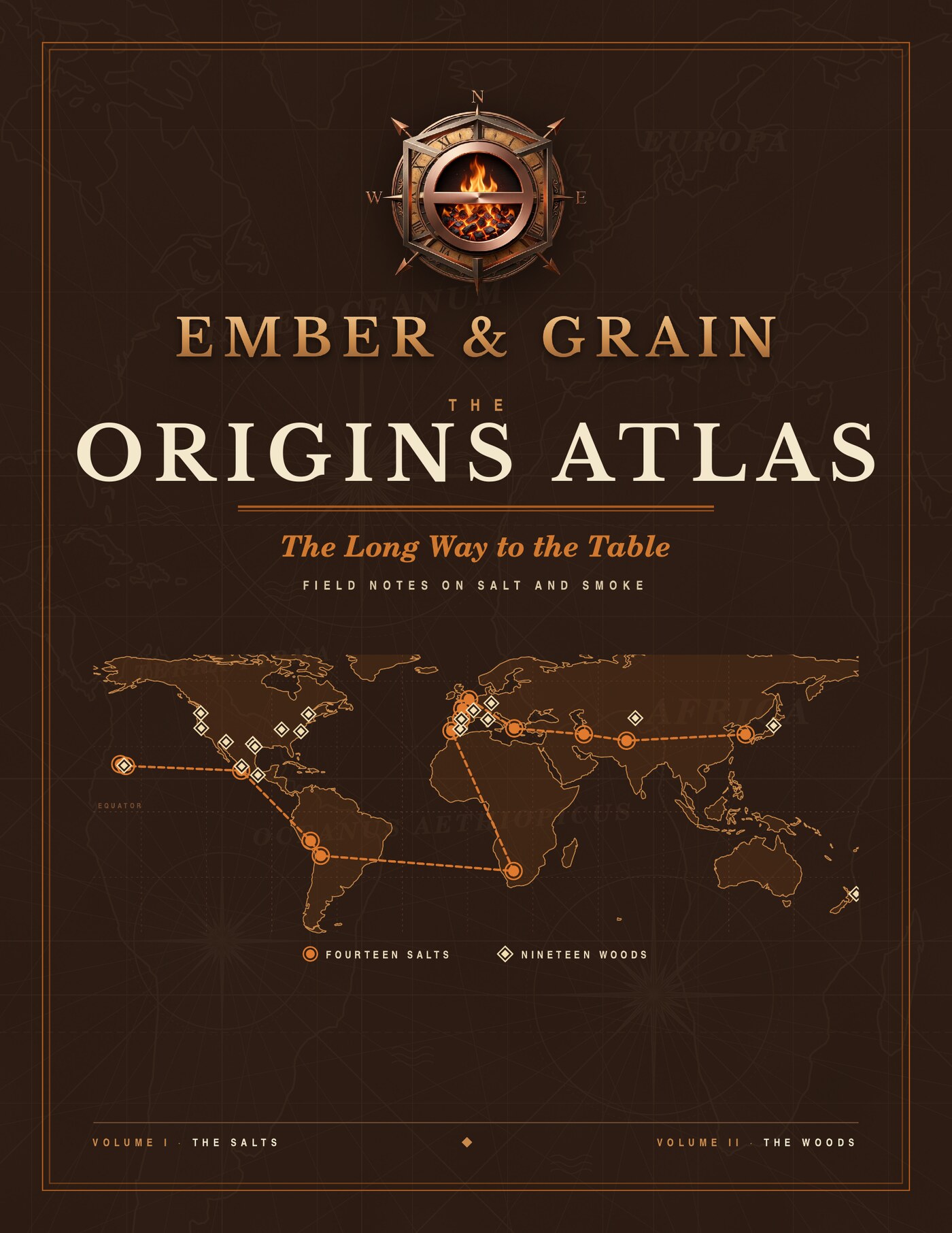
The book
The Origins Atlas
The Long Way to the Table
These pages hold a part of each chapter. The book holds the rest: the history of each place, how the salt is made and the wood is burned, the families who keep the work, the hand-drawn maps, and how it all tastes at the table.